Aerial Construction Inspection & Progress Documentation
High Definition Aerial Imagery
Elevate Your Perspective
ABOUT ME
Founded by Joshua Burry, a former helicopter pilot, landscaping entrepreneur, and municipal construction inspector, Above Grade Aerials combines decades of ground-level expertise with cutting-edge aerial imaging.
T.R.U.S.T. & FAA Part 107 Certified
Fully Insured
Background in Civil Infrastructure & Landscape Design
Serving SE Pennsylvania and Northern Delaware
Elevate Your Perspective
·
Your Project - Clearly Documented
·
Insight Without Exposure
·
Stay Grounded. See Everything
·
Elevate Your Perspective · Your Project - Clearly Documented · Insight Without Exposure · Stay Grounded. See Everything ·
My services
-

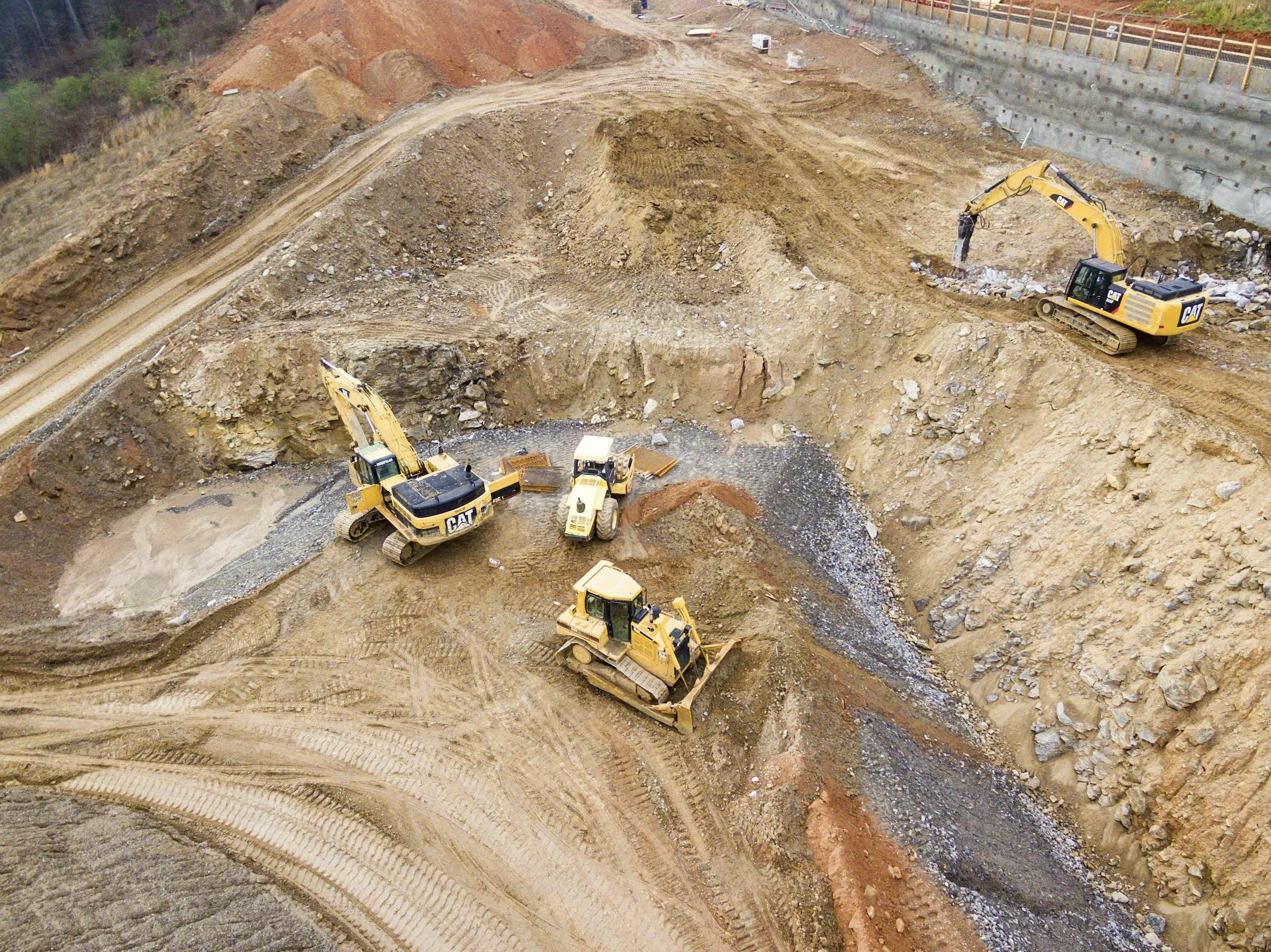
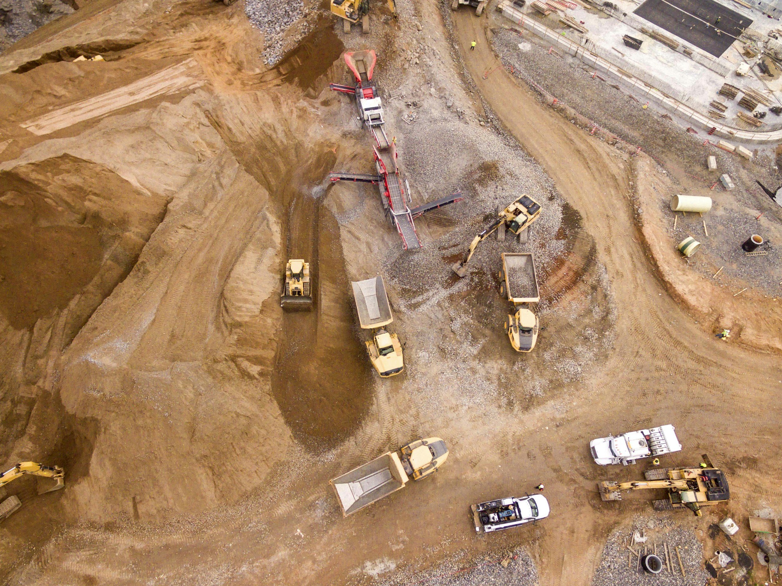
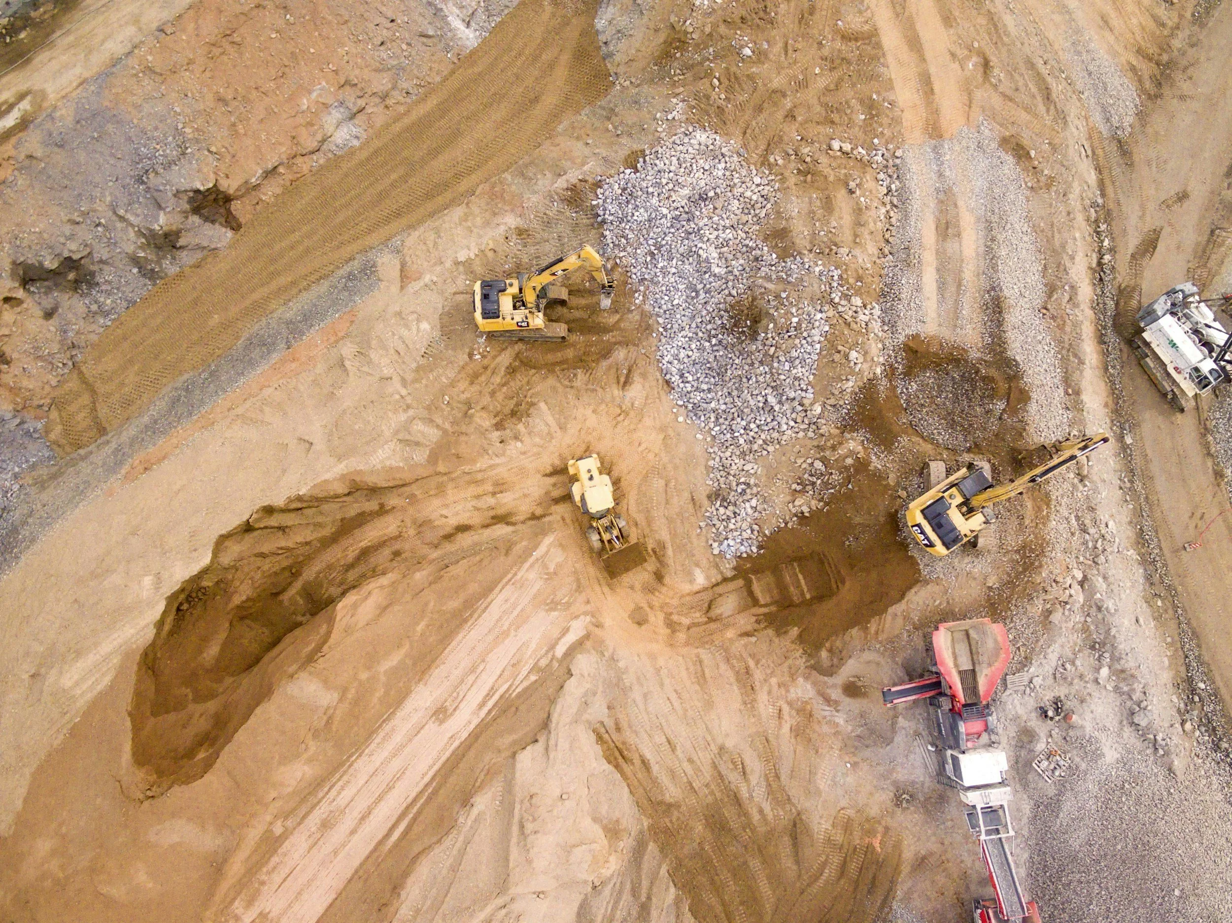
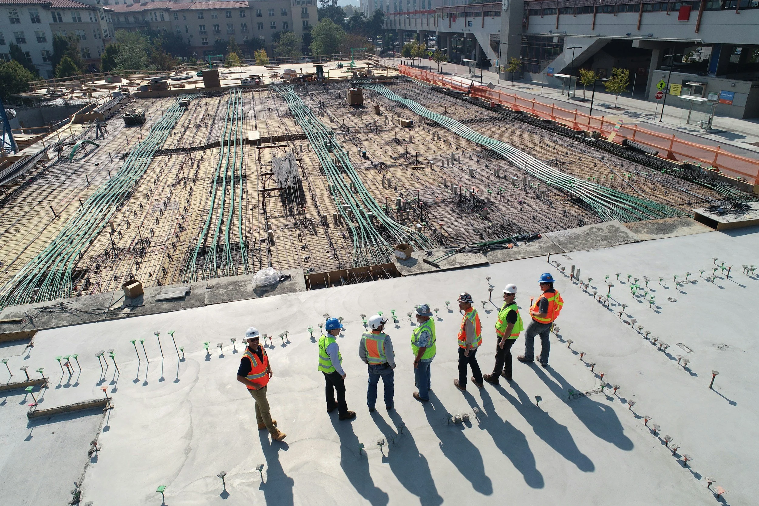
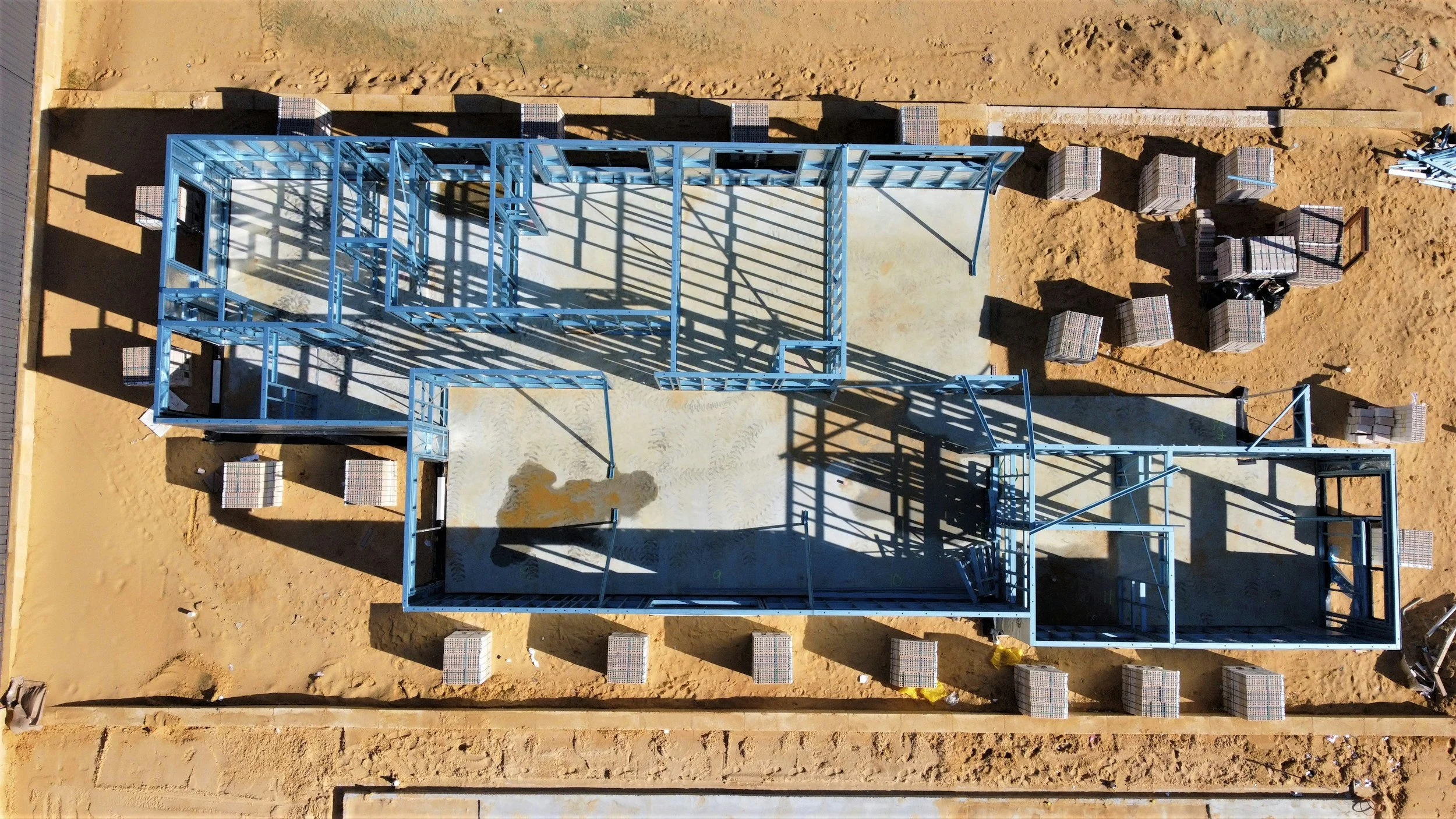
Construction Progress Documentation
Time-lapse flights, Aerial updates, & HD deliverables.
-

Aerial Construction Inspections
High resolution imagery, and detailed inspection reports for all facets of site work from initial land clearing and E&S control installation, to final punch-list documentation.
-

Mapping & Orthomosaic Imaging
Site mapping, 3-D modeling, and volumetric measurements for earthwork and stockpile quantity tracking.
-

General Property Services
Roof & Facade documentation and inspections, Observational contractor estimate support, Aerial property photography and videography.
MY GOAL
I’ve found a way to combine my background in construction infrastructure inspection with a commitment to delivering a better, more valuable product for today’s developers and contractors. By leveraging modern drone and imagery technology, I can now provide clear, actionable insight that improves project oversight, reduces liability, and gives clients real peace of mind—knowing exactly how their projects are progressing at every stage.
LET’S CHAT